Wednesday, 28 June 2017
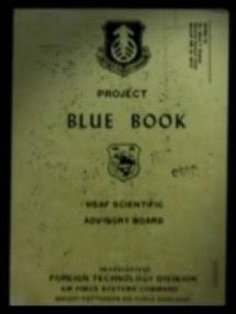
U.S. Government UFO Document:
“PROJECT 10073 RECORD CARD:
DATE: 24 Mar 52/LOCATION: 60 miles west
Point Conception, California”
(Project Blue Book , U.S. Air Force, Washington , D.C.
Source: Fold3.com, Lindon , Utah
The UFO was registered by B-29 (U.S. Air Force) radar
(source).
Project Blue Book listed the case as “Unknown.”
Wikipedia article: “Boeing B-29 Superfortress”:
Wikipedia article: “Point Conception”:
Related posts:
(ufocasebook.com image)
A USAAF B-29 Superfortress (text by Wikipedia)
Point Conception and the Gaviota Coast Cojo Bay Santa Barbara . (text by Wikipedia) (wikimedia.org) (wikimedia.org photo)


