(NICAP.org)
The whole UFO case report:
“Brad Sparks:
Feb. 12, 1962; Winnemucca AFB, Nevada
(McDonald list)
Dan Wilson:
Feb. 12, 1962; Winnemucca AFB, Nevada
At 8:06 a.m. local time, radar of the 658 Radar
Squadron painted one large target considered to be out of the ordinary because
of the height and range. Object appeared at 74,000 feet and
disappeared in excess of 96,000
feet . The object was on the scope for 5 minutes.
Observer was S/Sgt F. Grover, Crew Chief 658th RS, with 11 years of radar
experience. Radar type was an FPS-6B. (Dan Wilson)”
NICAP.org presents U.S.
Wikipedia article: “Winnemucca Air Force Station”:
Quote from the Wikipedia article:
“Winnemucca Air Force Station (ADC ID: M-127, NORAD
ID: Z-127) is a closed United States Air Force General Surveillance Radar
station. It is located 3.1
miles (5.0
km ) north-northwest of Winnemucca , Nevada
History
The station was activated on 8 June 1955 after the
658th Aircraft Control and Warning Squadron was moved to the new station on 1
February 1956 by the 28th Air Division. Operational status was finally achieved
by the 658th AC&W Squadron in 1956. The site used an AN/FPS-3 radar, and
initially the station functioned as a Ground-Control Intercept (GCI) and
warning station. As a GCI station, the squadron's role was to guide interceptor
aircraft toward unidentified intruders picked up on the unit's radar scopes.
By 1959 this radar had been joined by a pair of
AN/FPS-6B height-finder radars. In 1960 the AN/FPS-3 was replaced by an
AN/FPS-20 search set. At the end of 1961 this search set had been upgraded into
an AN/FPS-66. During 1961 Winnemucca AFS joined the Semi Automatic Ground
Environment (SAGE) system, initially feeding data to DC-21 at Stead AFB, Nevada
Related posts:
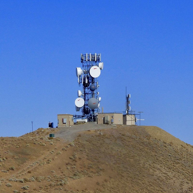
Winnemucca AFS Radio Site Repurposed,
photo by John Stanton 9 Oct 2016 (text by Wikipedia)
(wikipedia.org)
(wikimedia.org photo)
(tageo.com photo)
